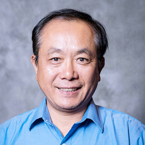
Hongxing Liu
Professor
- email: hongxing.liu@ua.edu
- phone (205) 348-2319
- office location Shelby Hall 2019-C
Education
- PhD, Geography, Ohio State University, 1999
- Master of Urban Studies, University of Sydney, 1994
- MS, Geography, Beijing (Peking) University, 1985
- BS, Geography, Shaanxi Normal University, 1982
Research Areas
- Remote sensing: Hyperspectral, LiDAR, Radar, passive microwave, thermal, and altimetry Inland water quality remote sensing: lakes and rivers
- Inland water quality remote sensing: lakes and rivers
- Cryosphere studies: polar ice sheets and Arctic lakes
- Satellite hydrography: watershed hydrologic modeling by assimilating multi-sensor remote sensing inputs , soil moisture, snow and flood mapping, lake and river water level storage
- Riparian, coastal, and benthic habitat mapping
Selected Publications
- Shu, S., H. Liu, F. Frappart, Y. Huang, S. Wang, K. M. Hinkel, R. A. Beck, B. Yu, B. M. Jones, C. D. Arp, and L. Wang. 2018. Estimation of snow accumulation over frozen Arctic lakes using repeat ICESat laser altimetry observations–A case study in norther Alaska. Remote Sensing of Environment 216: 529-543.
- Huang, Y., H. Liu, B. Yu, J. Wu, E. L. Kang, M. Xu, S. Wang, A. Klein, and Y. Chen. 2018. Improving MODIS snow products with a HMRF-based spatio-temporal modeling technique in the Upper Rio Grande basin. Remote Sensing of Environment 204: 568-582.
- A spectral space partition guided ensemble method for retrieving chlorophyll-a concentration in inland waters from Sentinel-2A satellite imagery
- Regionally and locally adaptive models for retrieving chlorophyll-a concentration in inland waters from remotely sensed multispectral and hyperspectral imagery
- Regional analysis of lake and reservoir water quality with multispectral satellite remote sensing images
