The Department of Geography maintains a variety of facilities to support its mission of research, teaching, and service. These facilities are available to faculty, staff, and students.
Cartographic Research Laboratory
The Cartographic Research Laboratory was established in 1982. It is a nonprofit facility, receiving funding through the sale of publications and through the completion of cartographic and geographic information science (GIS) projects for a broad clientele.
Adjoining the University Map Library, the lab is ideally situated to handle a multitude of mapping and spatial analysis tasks.
Dendrochronology Research Lab
The Dendrochronology Research Lab focuses on using tree rings to study past climate. The “DRL team” is particularly focused on the reconstruction of extreme climate events such as drought and flooding. The purpose of the research is to compare the data stored in trees centuries of years old to the limited weather and climate data that people have recorded over the past 100 to 150 years. The lab is directed by Matthew Therrell.
Earth Surface Dynamics Laboratory
Directed by Dr. Lisa Davis, the Earth Surface Dynamics Laboratory is designed to support investigations in geomorphology, watershed processes and dynamics, and environmental change. The lab is fully equipped for research projects in these areas.
Forest Dynamics Laboratory
The primary mission of the Forest Dynamics Lab is to provide science-based solutions to pressing forest management issues. Thus, the lab conducts research that directly improves the management of forest resources. The physical lab is located in the Bevill Building and is well equipped for a range of projects in applied forest ecology, silviculture, and phytogeography. The lab is directed by Justin Hart.
GIS and Remote Sensing Laboratory
The GIS and Remote Sensing Laboratory maintains a state-of-the-art facility for GIS data input, database management, spatial analysis and manipulation, and information output, as well as digital image processing of remotely sensed data.
The lab serves students and faculty in both their coursework and research. The lab offers the latest popular GIS and remote sensing software packages, such as ArcGIS and ERDAS Imagine.
Laboratory for Location Science
Directed by Dr. Kevin Curtin, the Laboratory of Location Science is dedicated to interdisciplinary research that addresses applied and theoretical problems with a fundamental focus on spatial relationships and efficiently solving problems with a location component.
The Laboratory supports a broad range of scientific approaches and technologies and serves a wide community of scholars. It also provides research, education, training, and outreach opportunities for students, faculty, and our community of stakeholders.
Physical Geography Laboratories
Laboratory space for research and teaching in physical geography is located in Farrah Hall and the Math and Science Building (a short walk away). In addition to teaching labs, the department contains labs devoted to climatology, soils, geomorphology, and biogeography. All labs are well equipped to support investigations in the specialty areas of their directors.
Surface Dynamics Modeling Laboratory
Established in 2012, the Surface Dynamics Modeling Laboratory strives to improve scientific understanding of planetary surface processes and dynamics through design and utilization of state-of-the-art numerical models. In order to address the immense complexity of surficial systems research in the lab spans across spatial and temporal scales and scientific disciplines. The lab, which is located in 2021 Shelby Hall, is directed by Sagy Cohen.
UAS (Drone) Testing and Training Field
The Department of Geography and the Environment has established a UAS testing and training field for testing Uncrewed Aerial Systems (UAS) for research applications as well as teaching a variety of UAS courses.
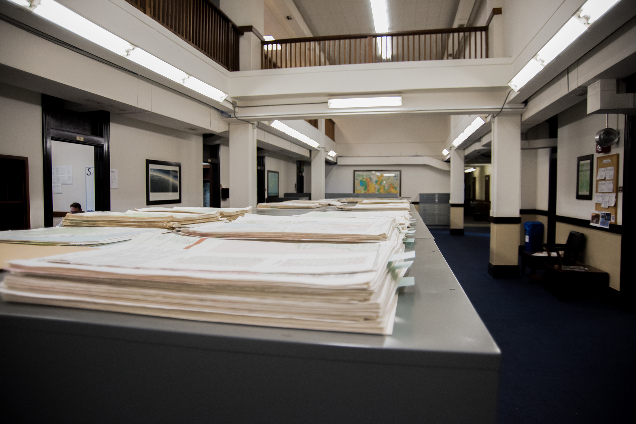
University Map Library
Located in 300 Farrah Hall, the University Map Library is a regional depository for the U.S. Geological Survey and includes over 1,700 monographs, 270,000 maps, and 75,000 aerial photographs. The Library also holds an extensive collection of ancient maps and materials related to toponymics.
A selection of GIS data is available on the Library’s website.