Matthew LaFevor, an associate professor in UA’s Department of Geography and the Environment, has been awarded a three-year grant from the National Science Foundation’s Human-Environment and Geographical Sciences (HEGS) Program. A subaward will be made to his collaborator at the University of Texas at Austin, Carlos E. Ramos-Scharrón, an associate professor in UT’s Department of Geography and the Environment.
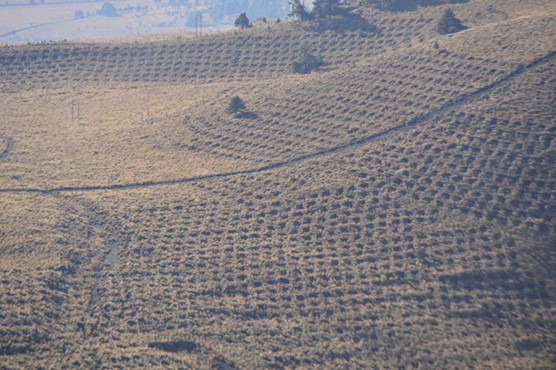
The team will investigate the hydrologic efficacy of a growing trend in mountain water management—the construction of water-harvesting earthworks (WHE). WHE resemble elongated pits or trenches set perpendicular to hillslopes. They are intended to maximize surface water infiltration and groundwater recharge—ultimately to increase water supply for ecosystems, agriculture, urban and industrial use in regions where groundwater extraction exceeds recharge. In Mexico alone, WHE construction has expanded since 2001 to cover tens of thousands of hectares of mountain slopes in natural protected areas. The expansion of WHE construction represents a significant public and private investment and a major driver of land cover change that warrants critical review.
Drs. LaFevor and Ramos-Scharrón question whether WHE are effective based on their previous work, which was funded in part by the UA Research Grants Committee. The team suspects that in most mountain environments WHE provide little or no enhancement in water infiltration over ‘natural’ or baseline conditions. The team also observes that excessive WHE construction often has undesirable environmental consequences (LaFevor & Ramos-Scharrón, 2021).
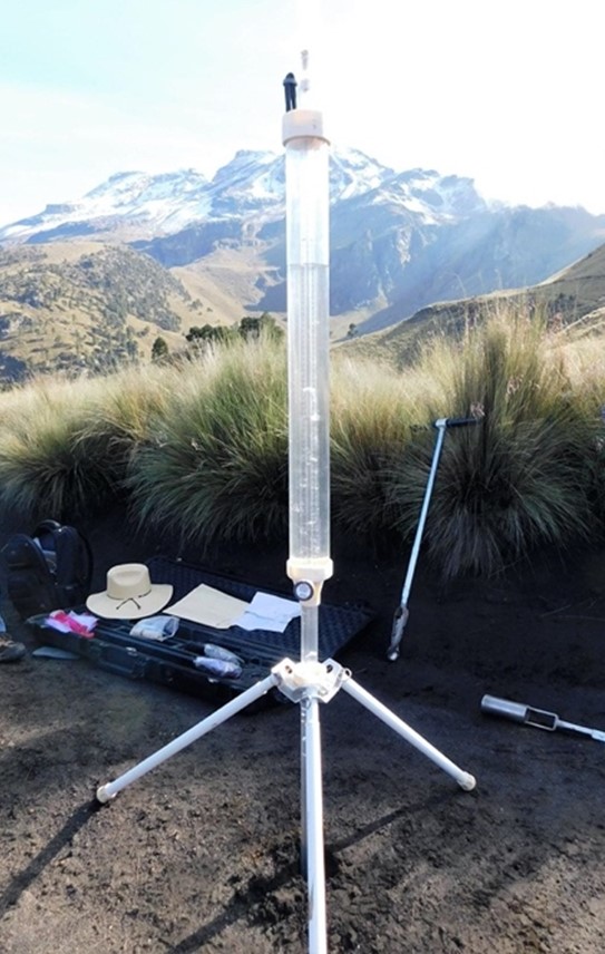
For this research, the team will examine WHE projects in the alpine regions of Mexico’s Iztaccíhuatl-Popocatépetl National Park and Protected Area. Aerial drones (UAVs) will be used to produce high-resolution 3D maps and digital elevation models of WHE projects. GIS will be used to inventory and examine WHE spatial distribution and design. The team will conduct field experiments and use instruments to monitor and characterize the soil and water properties of WHE catchments and unpaved road segments—the latter often serve as active source areas for surface water runoff (see photos). These data will be used to build empirically based, spatially distributed models of WHE surface dynamics. The models will be used to develop reference materials for improving the design, distribution, construction, and management of future WHE projects. The team is currently recruiting students and other collaborators to contribute to the project. For more information, see www.matthewlafevor.com.